
1
/
of
1
Delorme Mapping Company
Delorme Atlas & Gazetteer: California by Rand McNally
Delorme Atlas & Gazetteer: California by Rand McNally
Regular price
$29.95 USD
Regular price
$29.95 USD
Sale price
$29.95 USD
Shipping calculated at checkout.
Quantity
16 in stock
Couldn't load pickup availability
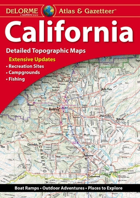
With an incredible wealth of detail, DeLorme's Atlas & Gazetteer is the perfect companion for exploring the California outdoors. Extensively indexed, full-color topographic maps provide information on everything from cities and towns to historic sites, scenic drives, trailheads, boat ramps and even prime fishing spots. - Great resource for trip planning and backcountry access. - Special features 2-page section on Yosemite National Park. - Map detail commonly includes: back roads, dirt roads and trails; elevation contours; remote lakes and streams; boat ramps; public lands for recreation; trailheads; campgrounds; and more. - GPS grids and tick marks. - Index of place names. - Maps provided for major cities as well as all state lands. Product Details: - Dimensions: 11x 15.5 (paperback). - Scale 1:200,000 (1=3.16 miles). - Contour interval: 300 feet. - 140 pages of maps, 160 pages in all. Available for all 50 States!
Author: Rand McNally
Publisher: Delorme Mapping Company
Published: 06/06/2022
Pages: 160
Binding Type: Other
Weight: 1.90lbs
Size: 15.50h x 11.00w x 0.50d
ISBN: 9781946494504
Author: Rand McNally
Publisher: Delorme Mapping Company
Published: 06/06/2022
Pages: 160
Binding Type: Other
Weight: 1.90lbs
Size: 15.50h x 11.00w x 0.50d
ISBN: 9781946494504
Not available to be shipped via Media Mail
Share
No reviews