
1
/
of
1
Delorme Mapping Company
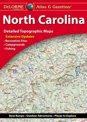
Delorme Atlas & Gazetteer: North Carolina by Rand McNally
Delorme Atlas & Gazetteer: North Carolina by Rand McNally
Regular price
$29.95 USD
Regular price
$29.95 USD
Sale price
$29.95 USD
Shipping calculated at checkout.
Quantity
25 in stock
Couldn't load pickup availability
With an incredible wealth of detail, DeLorme's Atlas & Gazetteer is the perfect companion for exploring North Carolina. Extensively indexed, full-color topographic maps provide information on everything from cities and towns to historic sites, scenic drives, buttes, ranches, trailheads, boat ramps and even prime fishing spots. Conveniently bound in book form, the Atlas & Gazetteer is your most comprehensive guide to North Carolina's backcountry. - Full-color topographic maps provide information on everything from cities and towns to historic sites, scenic drives, recreation areas, trailheads, boat ramps and prime fishing spots. - Extensively indexed. - Handy latitude/longitude overlay grid for each map allows you to navigate with GPS. - Inset maps provided for major cities as well as all state lands. Product Details: Dimensions: 15.5 x 11. Available for all 50 States!
Author: Rand McNally
Publisher: Delorme Mapping Company
Published: 09/01/2022
Binding Type: Paperback
Weight: 1.05lbs
Size: 15.40h x 10.70w x 0.20d
ISBN: 9781946494443
Author: Rand McNally
Publisher: Delorme Mapping Company
Published: 09/01/2022
Binding Type: Paperback
Weight: 1.05lbs
Size: 15.40h x 10.70w x 0.20d
ISBN: 9781946494443
Share
No reviews